€130,000above village land medianAgios Pantaleimonas
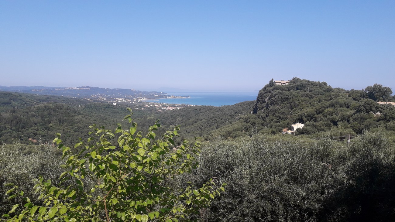
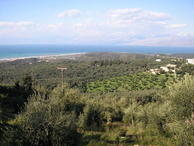
Land in Agios Pantaleimonas, 3 500 m2
3 500 m² land
2.5 km to the coast · about 40 min to Corfu Town centre · ground falls to the shore
- Price / m² land
- €37
- Position
- Exact location
How these figures are calculated
The position marker on each card compares that asking price with the median for its own property type in its own village, where that village holds another listing of the type. Where it does not, the comparison is the whole of the island: apartment €265,000 (108), commercial €790,000 (95), house €450,000 (869), land €187,475 (482).
Price per m² on a card is an IsleScout calculation, that record's asking price divided by the floor or land area recorded for it, never a rate for the locality.
Distance to the coast is a straight line to the nearest shoreline, not a walk. The drive time is to Corfu Town, and is a routing engine's estimate on the mapped road network, with no traffic and no season in it, rounded to five minutes. Both are measured from the record's mapped position, or from its village centre where the position is only approximate, which the card says.
Directory: 1573 records.
From 1573 listings from Chase Real Estate Corfu, Corfu Home Finders, Corfu Homes, Kassiopi Real Estate and Roula Rouva Real Estate, last read at their sources between 16 September 2026 and 24 September 2026. Not adjusted for size, condition or location.
How these figures for Agios Pantaleimonas are measured
Places from OpenStreetMap, read 6 to 7 August 2026, licensed ODbL. Measured from the village centre, and a record holding its own exact position can sit closer to a place than the centre does. The everyday kinds and the beach are walking routes on the mapped footpath and road network where a routing pass has reached this village, and straight lines where it has not, each row saying which. The airport, hospital and ferry are routed drives, each rounded and each labelled where it stands. A walking time is a flat-ground pace and does not read the gradient, so on a slope it describes the way down. The distance to the coast is a straight line and says so. A count of "no supermarket" means none is mapped within 2 km, which is not proof that none is there: OpenStreetMap coverage is thinner in villages than in towns. The drive to the airport is a road route by car in normal conditions, from the OpenStreetMap road network, not a live traffic estimate.
Within 2 km of the village centre
4 supermarkets
3 pharmacies
6 doctors or clinics
3 schools
4 bus stops
Land is left out of the rate. The same medians for every locality are on the Corfu overview.
Villages nearest Agios Pantaleimonas
Straight-line distance between village centres.
3 500 m² land
2.5 km to the coast · about 40 min to Corfu Town centre · ground falls to the shore
3 873 m² land
2.3 km to the coast · about 45 min to Corfu Town centre
2 063 m² land
about 2.5 km to the coast · about 40 min to Corfu Town centre
1 548 m² land
about 2.5 km to the coast · about 40 min to Corfu Town centre
6 000 m² land
about 2.5 km to the coast · about 40 min to Corfu Town centre
1 954 m² land
about 2.5 km to the coast · about 40 min to Corfu Town centre
What we do with the address
It is used to send you this one mail about this one village, and nothing else. We send one message first to check the address works, and nothing further is sent unless you open the link in it. Every mail carries a one-click unsubscribe. See privacy.
One mail a week, and only in a week when something actually happened in Agios Pantaleimonas.
Records in Agios Pantaleimonas only, from the sources this site reads. It is not every property on the market and never claims to be.